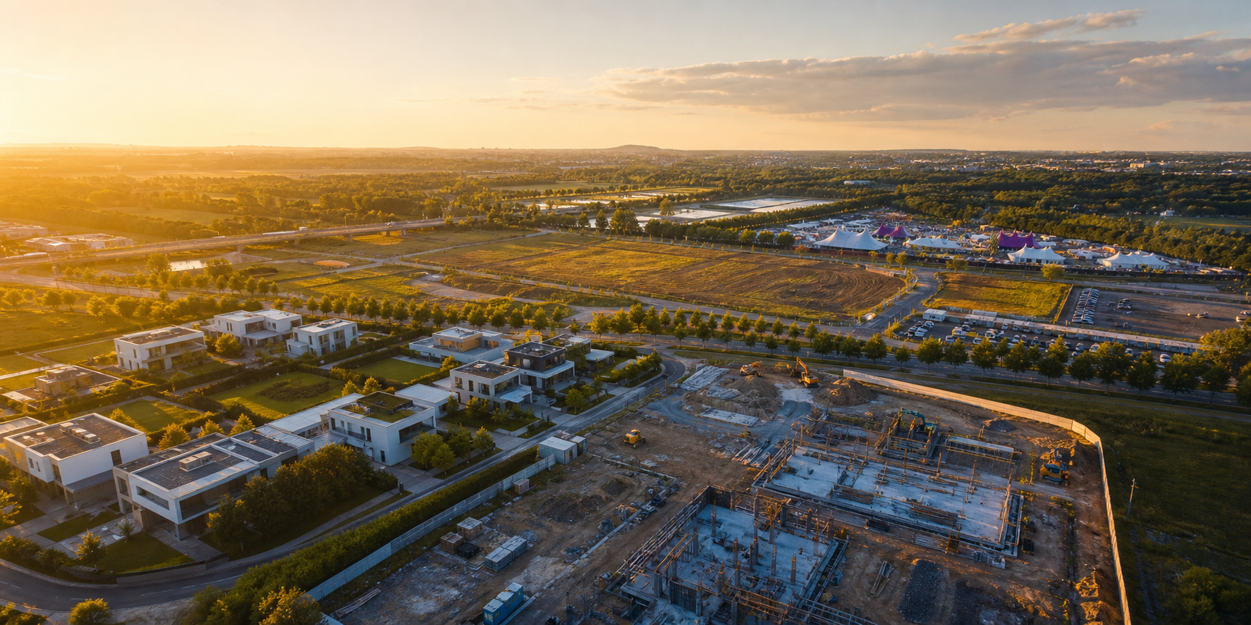
Licensed aerial capture for property, progress, and events
Drone footage, LiDAR scanning, and land surveying visuals that show the whole picture.
JMI Ariel captures crisp aerial video, LiDAR scanning visuals, mapping-style site views, and polished marketing footage for real estate, construction projects, festivals, and remote areas.
Real estate
Listing videos, property flyovers, neighborhood context
Construction
Progress updates, site documentation, overhead planning views
Festivals
Venue coverage, crowd-safe aerial moments, recap footage
Remote areas
Northern Ontario land access, shoreline, forest, and terrain views
LiDAR scanning
Point-cloud style visuals for buildings, terrain, and site planning
About JMI Ariel Media
Aerial media with a surveyor's eye.
JMI Ariel Media helps people see the full story of a property, project, event, or remote piece of land from above. Based in Ontario, we capture clean drone footage, LiDAR scanning visuals, overhead photos, and survey-style site views for real estate, construction, festivals, and Northern Ontario remote areas.
We're passionate about turning hard-to-see spaces into clear, useful visuals. Whether it is a listing, a job site, a festival field, or a shoreline property, our goal is simple: make the view from above work harder for you.
What we capture
Aerial work tailored to the job.
Real Estate Footage
Give buyers a confident view of the property, land, driveway access, surrounding area, and best angles before they arrive.
- Exterior flyovers and reveal shots
- Lot lines and surrounding context
- Short social clips and listing-ready edits
Construction Projects
Track project status from above with repeatable viewpoints that help teams, clients, and stakeholders understand progress quickly.
- Progress photo and video packages
- Site overview and logistics footage
- Marketing updates for finished milestones
Festival Coverage
Capture the scale, energy, and layout of your event with sweeping aerial footage designed for recaps, sponsors, and promotion.
- Venue establishing shots
- Stage, grounds, and crowd movement views
- Promo reels for future attendance
Remote Areas
Show hard-to-reach land clearly with aerial views of access roads, shorelines, forests, clearings, and Northern Ontario terrain.
- Remote property and land access views
- Lake, shoreline, and forest coverage
- Survey-style visuals for planning and review
LiDAR Scanning
Capture detailed point-cloud style views that help show terrain, buildings, access routes, elevations, and site conditions with more clarity.
- Building, roof, and site documentation
- Terrain and access route scanning visuals
- Planning support for land and construction review
Ontario aerial examples
More views from above.
Sample aerial scenes for property marketing, site context, LiDAR scanning, festivals, remote land access, and Northern Ontario survey-style coverage.
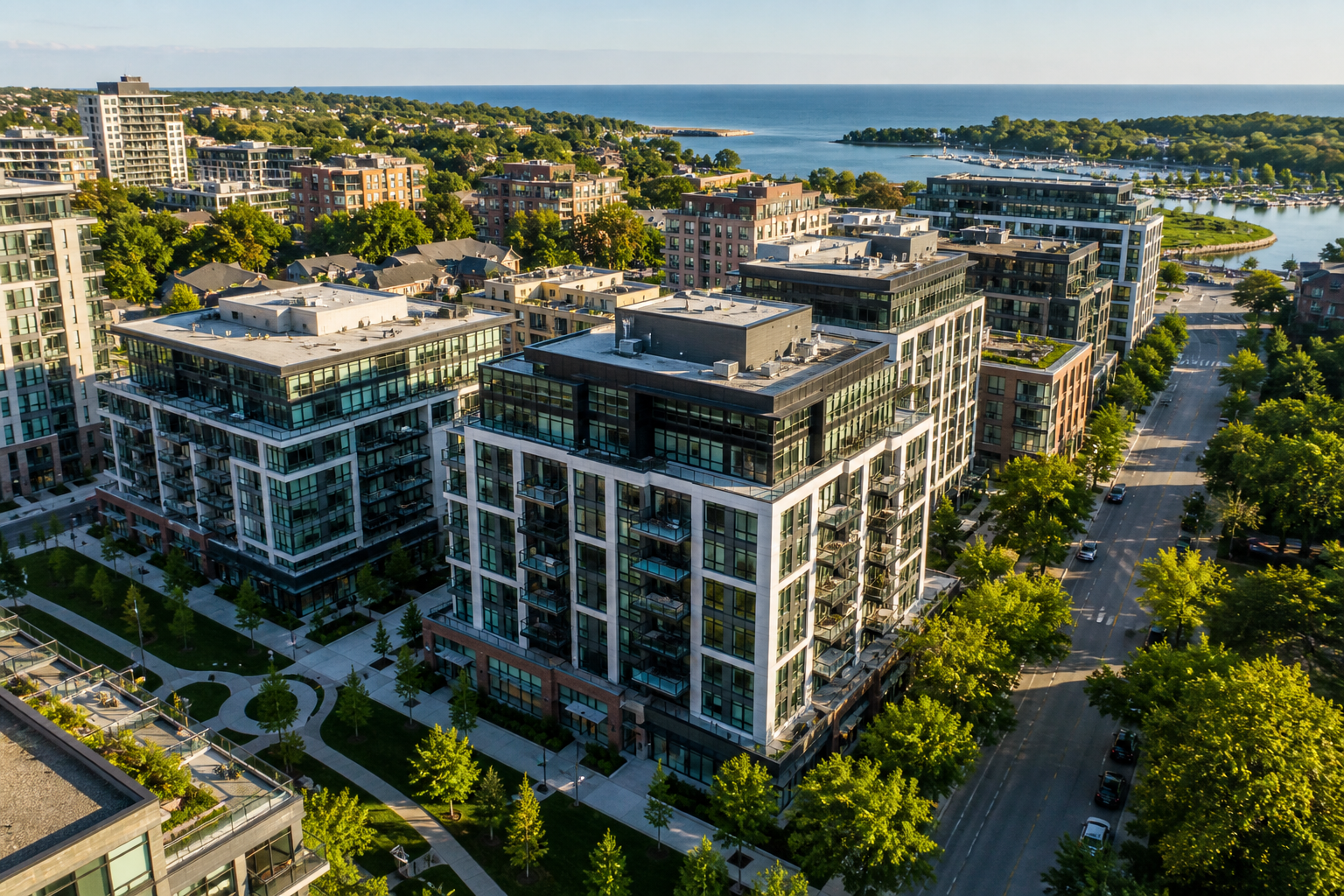
Real estate
Waterfront building views
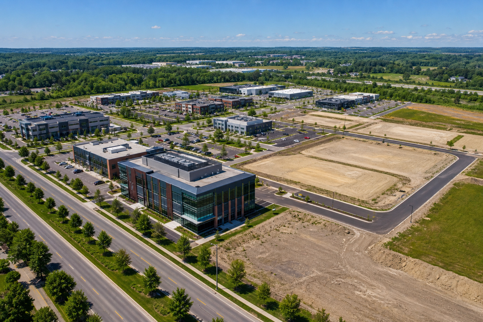
Construction
Commercial site context
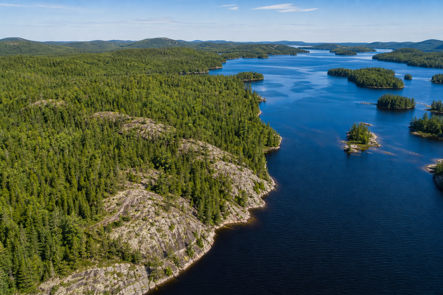
Northern Ontario
Lake and shoreline coverage
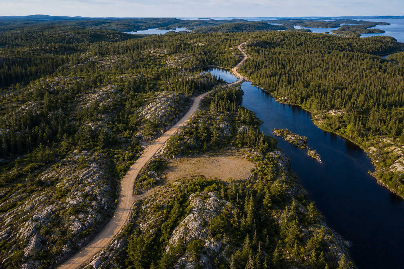
Remote land
Access roads, rivers, and terrain
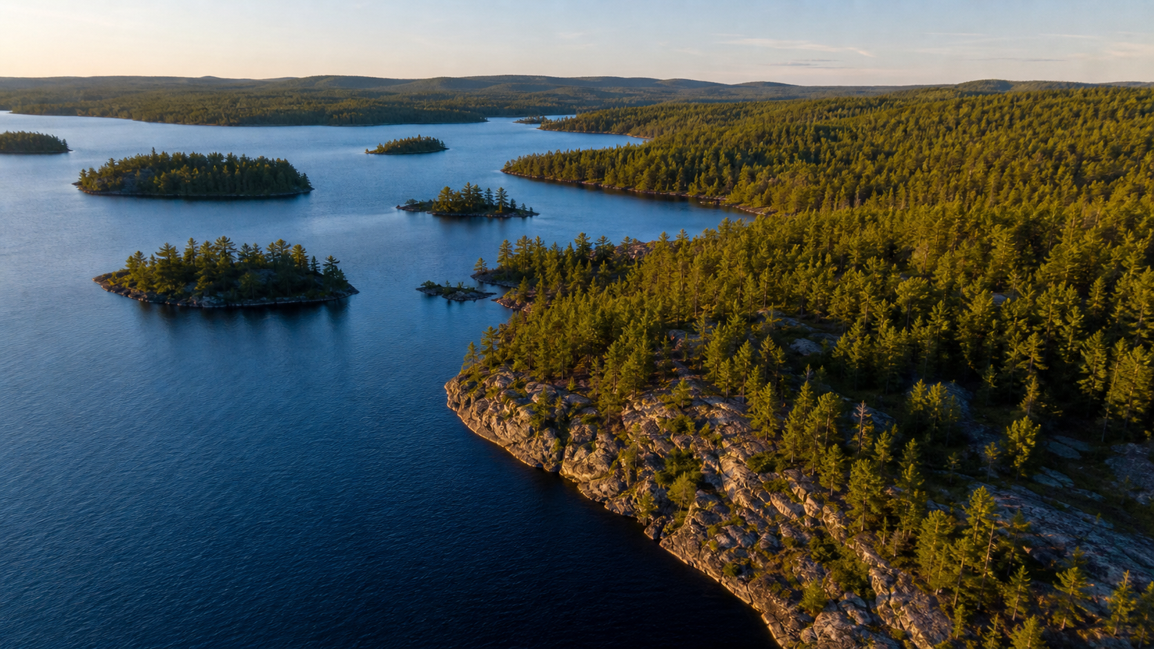
Northern land
Lake islands and shoreline shape
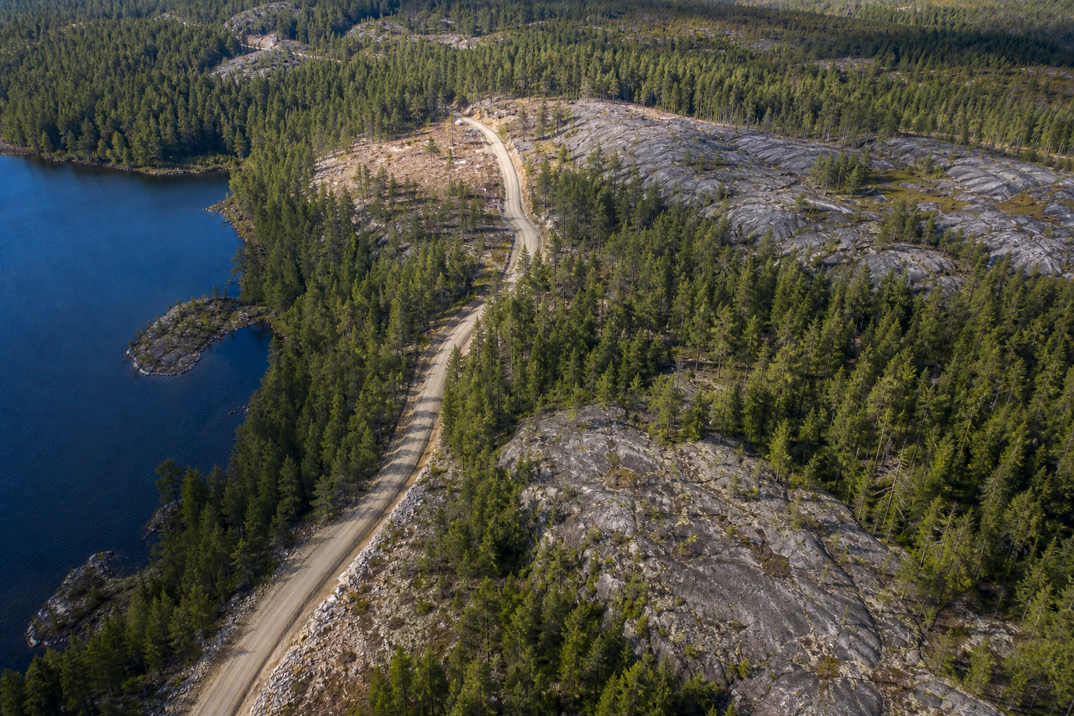
Remote access
Roads, rock, and forest coverage
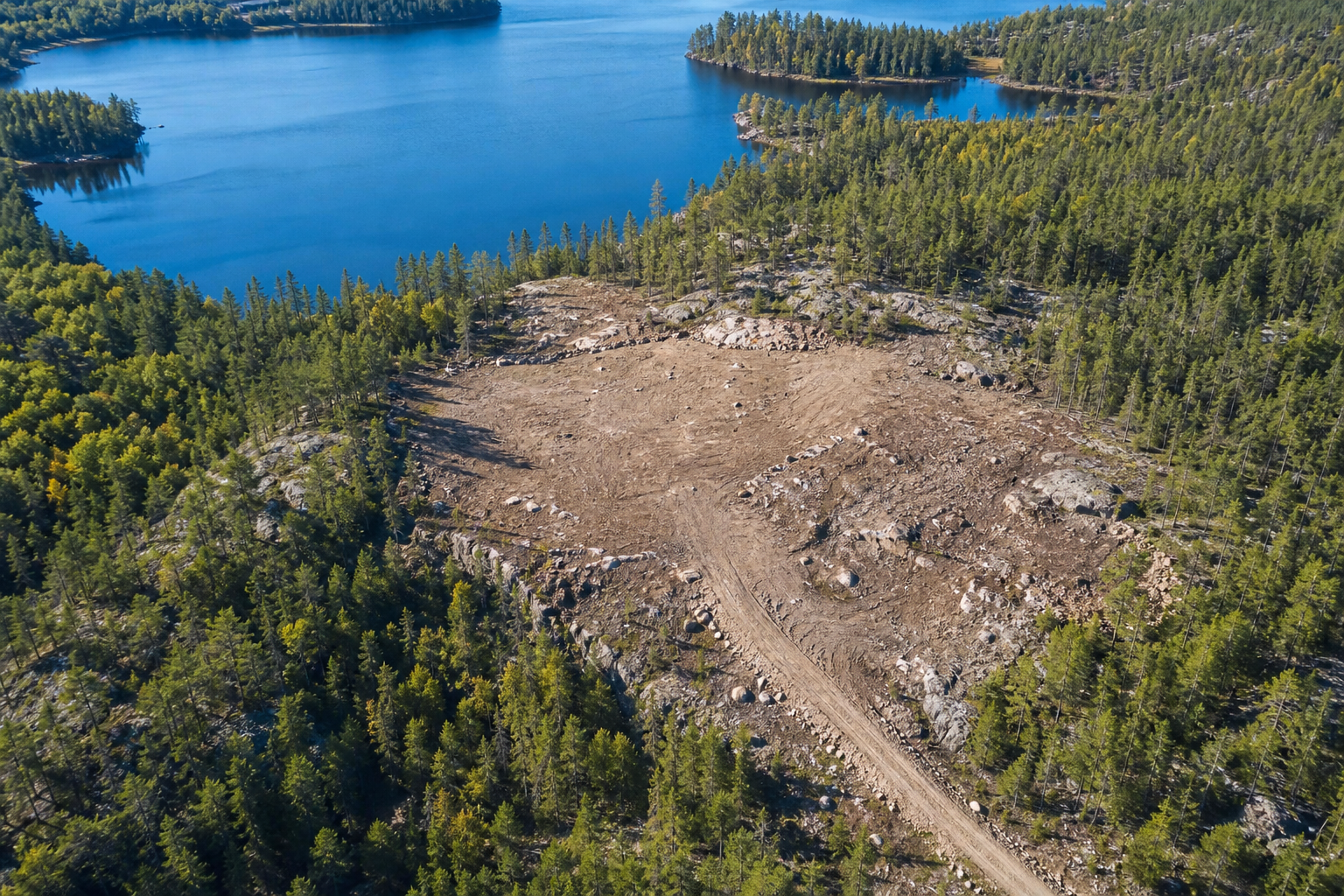
Land survey
Clearings and property context
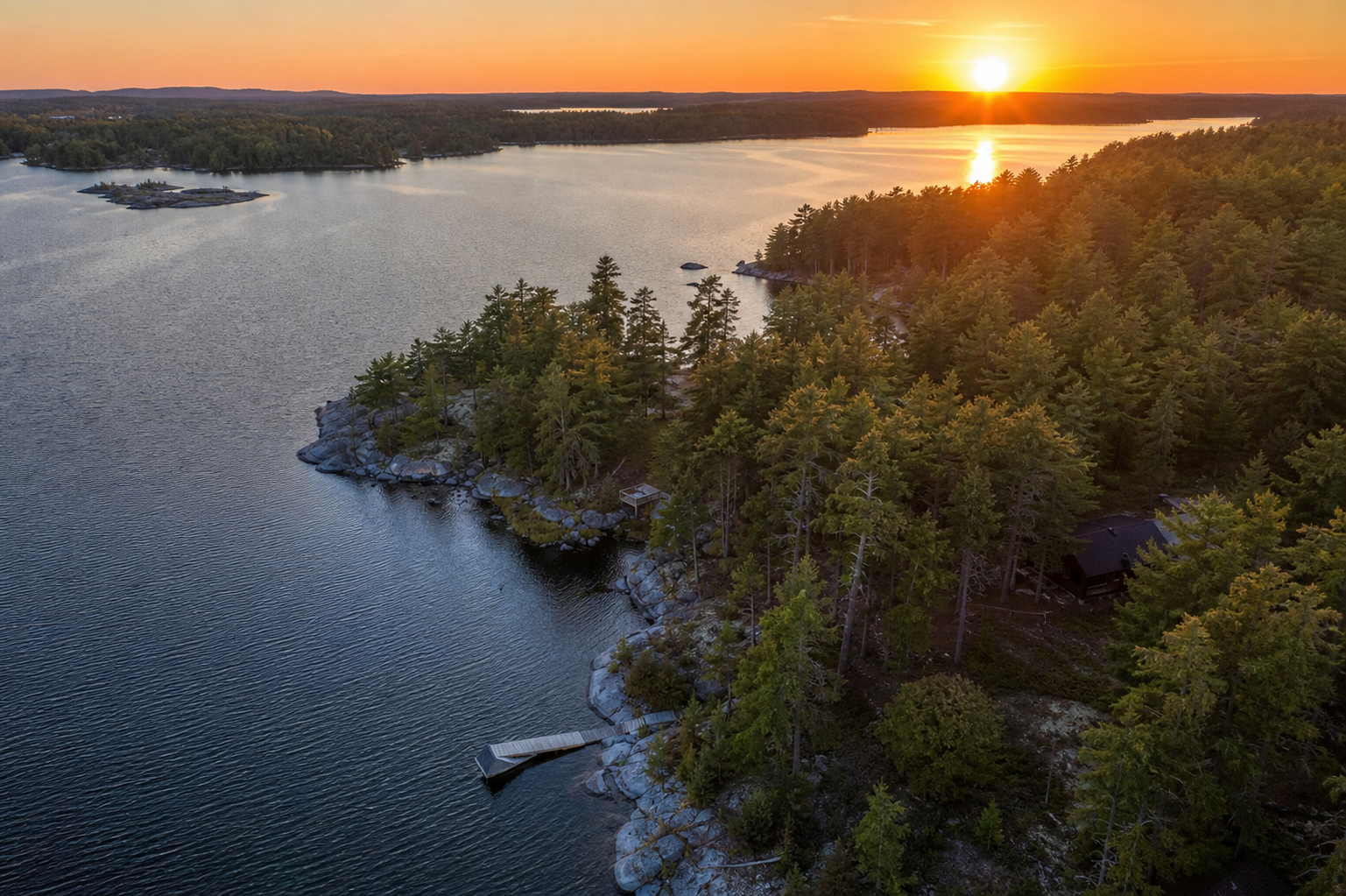
Waterfront land
Remote property from above
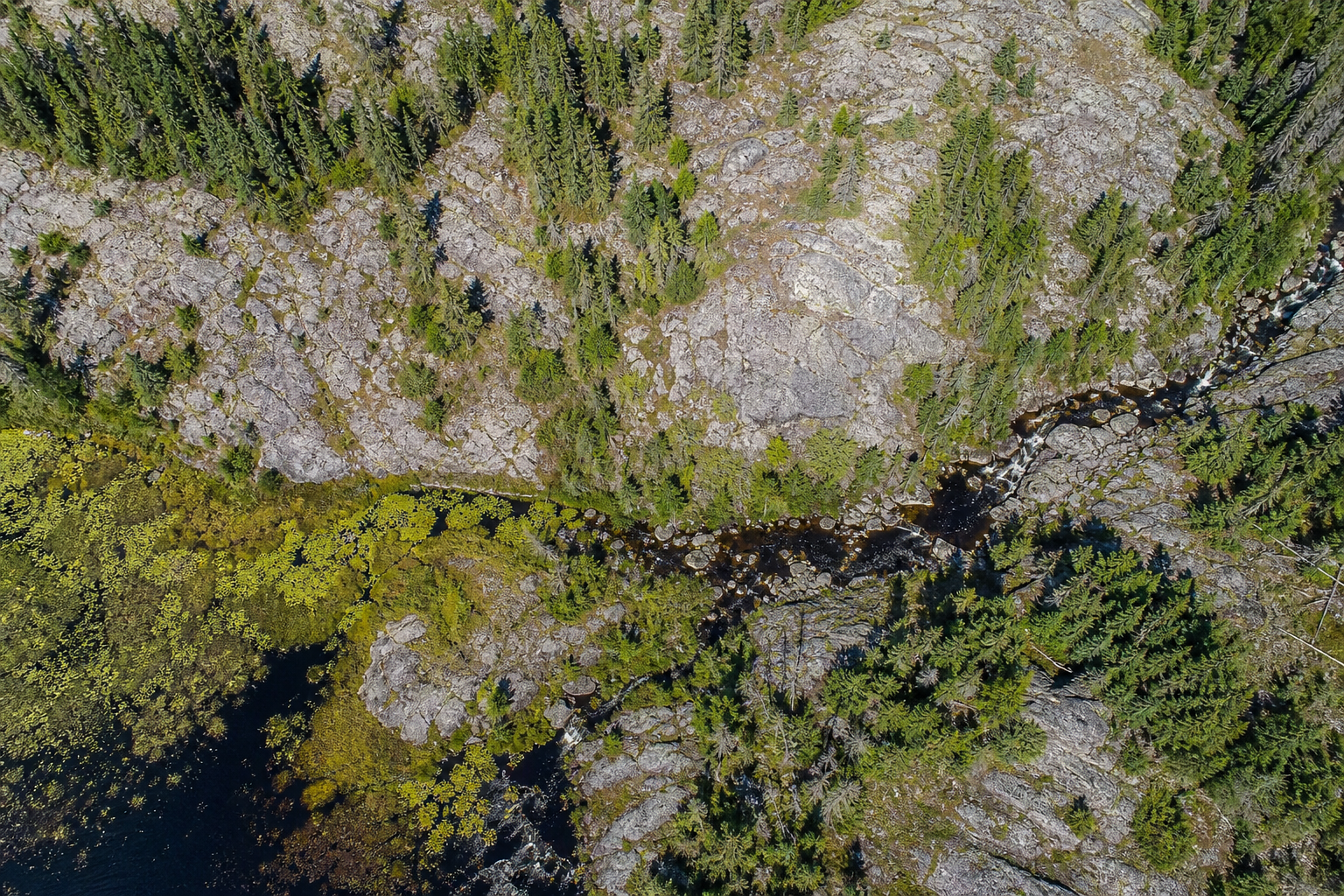
Terrain detail
Top-down rock and stream patterns
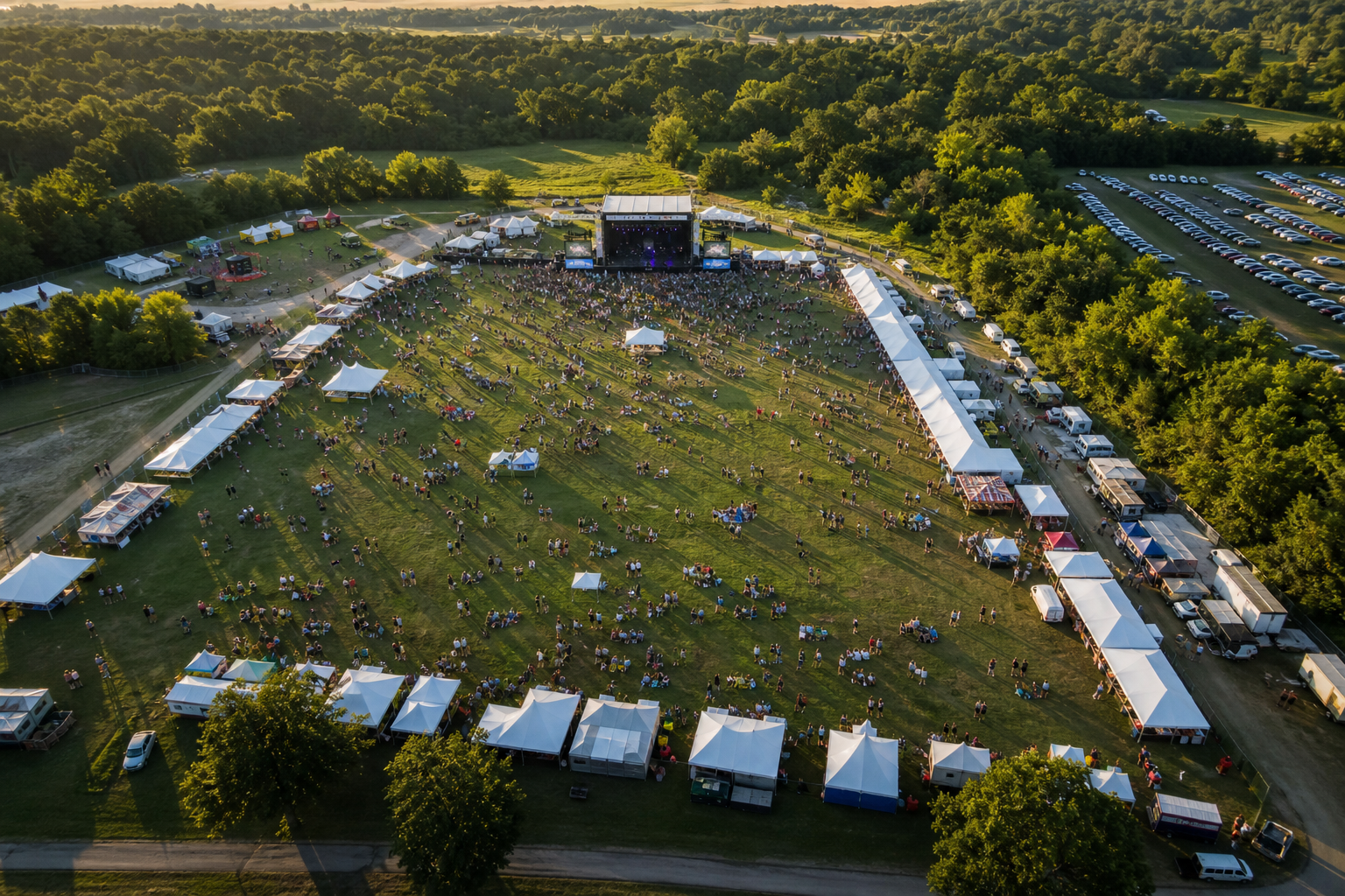
Festivals
Full grounds and stage coverage
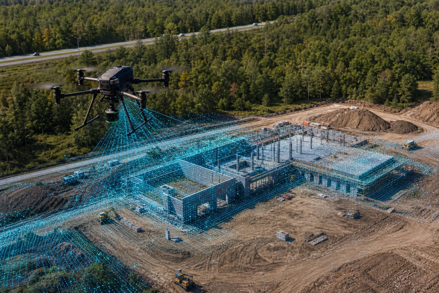
LiDAR scanning
Construction site point-cloud views
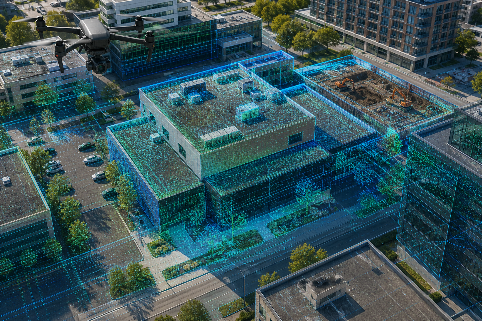
Building scans
Roofs, walls, and property layout
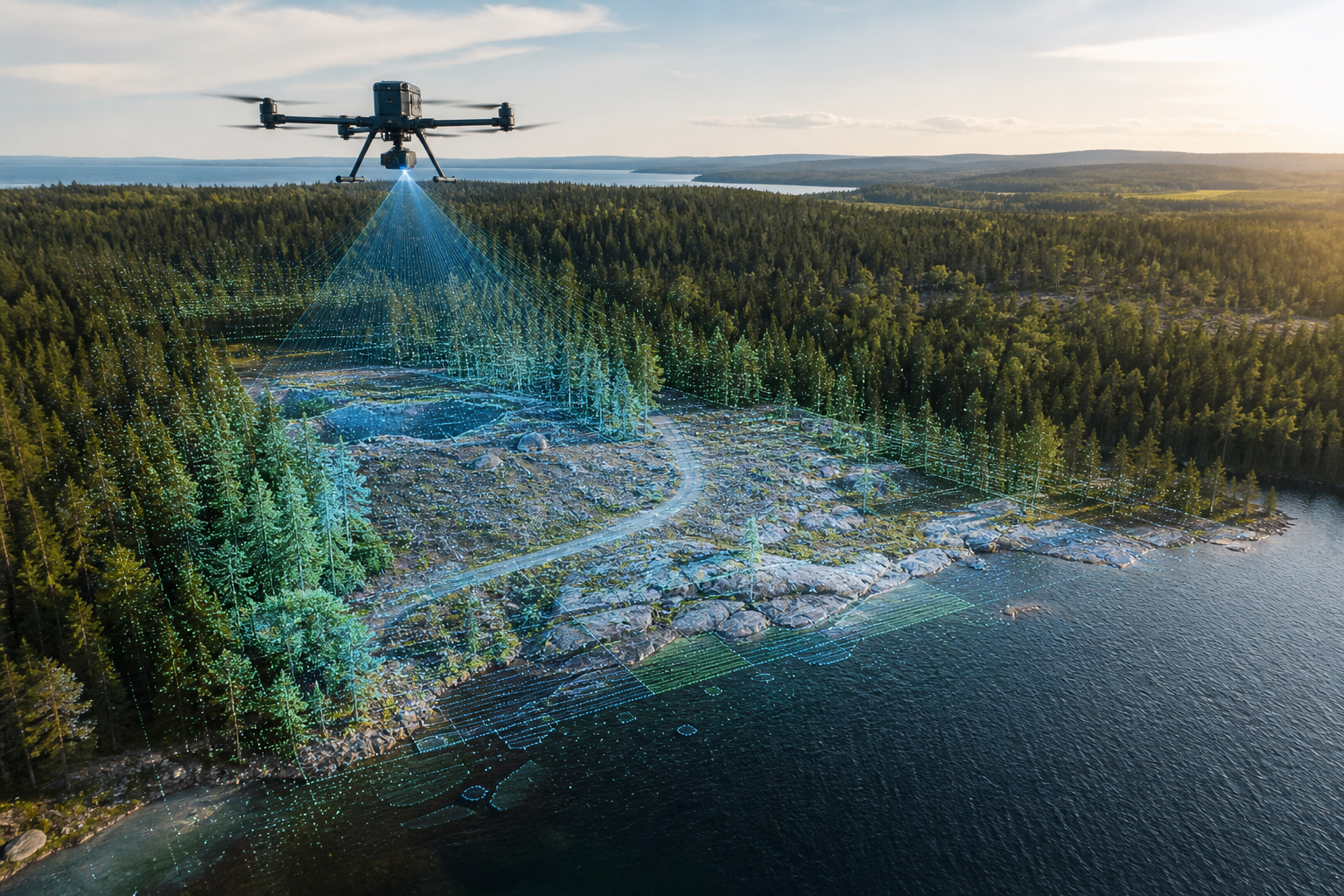
Remote LiDAR
Terrain, shoreline, and access detail
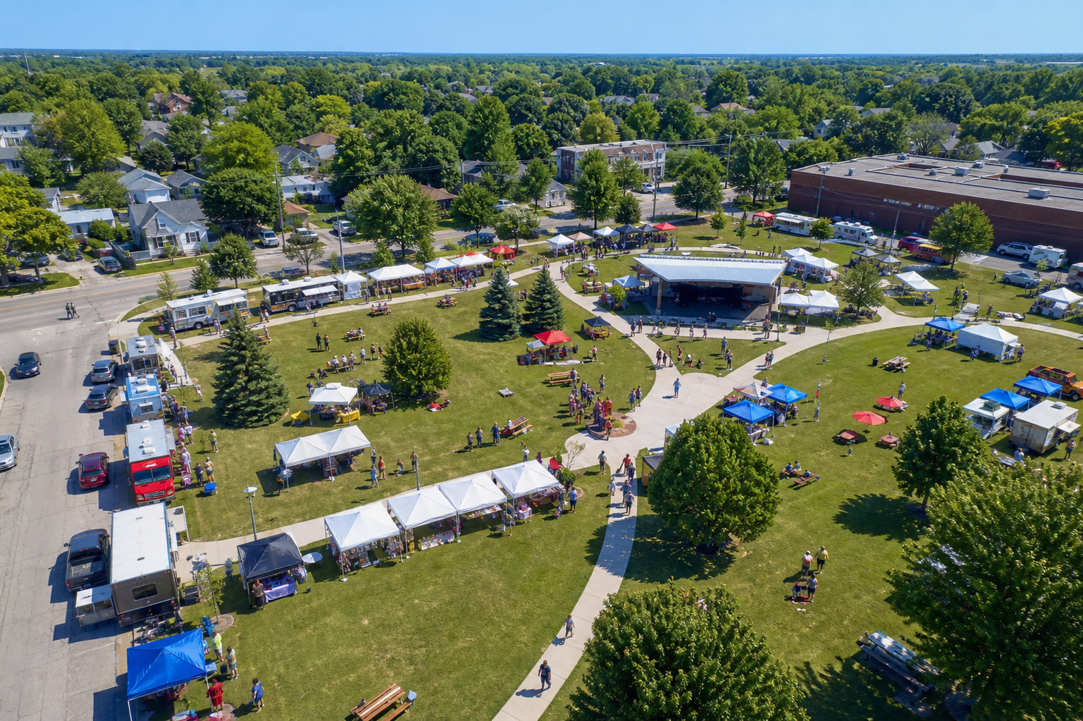
Community events
Markets, vendors, and crowd flow
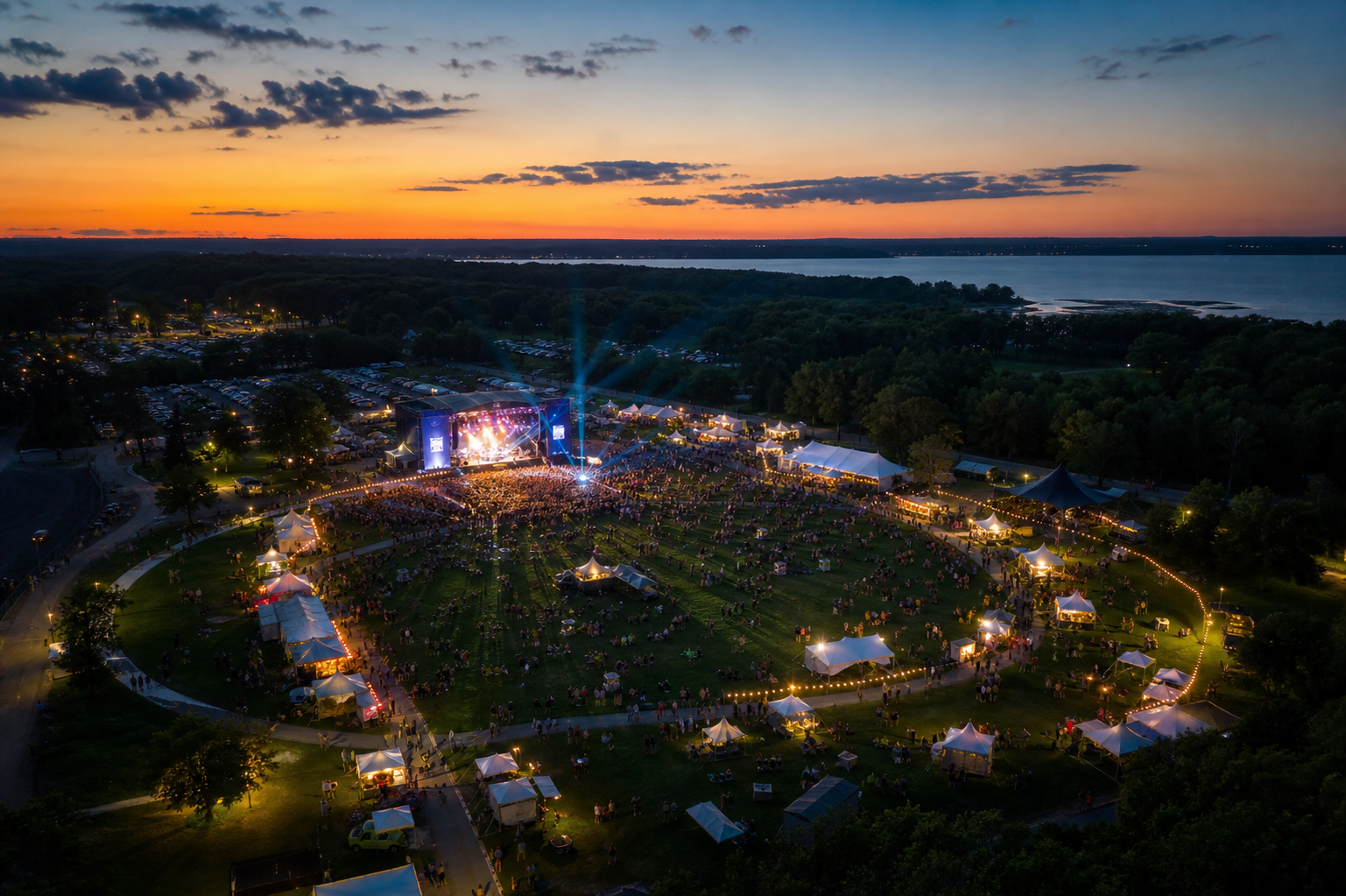
Event recaps
Evening atmosphere from above
Simple flight process
Clear steps from first call to final files.
Every job starts with what the footage needs to prove or promote. Dave plans the best angles, watches the conditions, captures the site cleanly, and delivers files that are ready to use.
Built for
Listings, project updates, LiDAR scanning, event recaps, remote land review, and survey-style site context.
Plan the shot
Scout
Confirm the location, access, timing, weather, nearby obstacles, and the exact views that matter most.
Capture the site
Fly
Record smooth aerial footage, overhead photos, and repeatable angles for marketing, progress, or land review.
Package the files
Deliver
Receive edited clips, selected stills, or organized project media based on the package and turnaround needed.
4K
video capture options
5
core service lanes
24-72h
typical edit turnaround target
Remote
Northern Ontario coverage options
Start a project
Tell us what you need to capture.
Share the location, date, and type of project. Dave at JMI Ariel will follow up with package options and the best flight window.